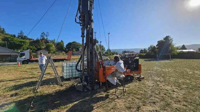
Between the sandy cliffs of East Cliff and the gravel terraces north of Charminster, Bournemouth's ground profile can shift completely within half a mile. A shallow foundation detail that works near the pier won't necessarily hold on the heavier clays backing onto the Stour Valley. We run exploratory test pits to map that transition before a single footing is cast. Opening a pit lets us log the sequence of topsoil, made ground, and natural stratum directly, take undisturbed block samples where the bag sample doesn't capture structure, and spot buried service ducts that desktop records miss. The test pits we excavate follow BS 5930 logging protocols, with in-situ hand vane readings taken at each stratum change so that the desk study doesn't guess cohesion from a borehole log alone.
A logged test pit in Bournemouth's plateau gravels answers two questions at once: bearing stratum depth and infiltration rate for the drainage strategy.
Service characteristics in Bournemouth
Typical technical challenges in Bournemouth
The mistake we see repeatedly on Bournemouth jobsites is treating a trial pit as a quick look-and-photograph exercise, then backfilling without logging the sidewall in detail. A pit dug through made ground can expose a soft lens of reworked valley fill at 1.8 m that a single photo from the bucket edge will miss entirely. That lens, if undetected, becomes a differential settlement trigger under a strip footing designed for uniform gravel bearing. We log every face, sketch the stratigraphy to scale, and take samples from each distinct layer before the excavator bucket touches the floor again. On slopes steeper than 1:4, we keep the pit outside the influence zone of any existing retaining walls and shored if depth exceeds 1.2 m, exactly as the Temporary Works Coordinator requires under BS 5975.
Our services
Every exploratory test pit we open in the Bournemouth area is treated as a miniature ground investigation, not just a hole. The scope below reflects what most local projects actually need:
Stratigraphic logging with sampling
We log each exposed face to BS 5930, recording colour, consistency, moisture condition, and structure. Block and disturbed samples are taken from every stratum change, bagged, labelled, and delivered to the laboratory for index testing or shear strength determination.
Permeability and drainage assessment
Constant-head tests run in the pit base provide infiltration rates for SuDS and soakaway sizing. We monitor recovery overnight where groundwater is struck, giving the designer real field data rather than textbook assumptions about Bournemouth's terrace gravels.
Frequently asked questions
How deep can you excavate a test pit in Bournemouth safely without shoring?
Under BS 5975 we keep unsupported vertical sides to 1.2 m maximum in any ground. With battered sides at a safe angle, typically 1:1 in granular soils, we can reach 3.0–3.5 m below ground level using a standard 5-tonne excavator. Deeper than that requires a stepped pit or proprietary trench box, which we arrange when the scope demands it.
What does an exploratory test pit cost in the Bournemouth area?
For a single pit to 2.5–3.0 m depth with full logging, sampling, and a brief factual report, budget between £410 and £740. The spread depends on access constraints, spoil removal requirements, traffic management if the pit is in the highway, and whether we run permeability testing on the same visit.
How do you backfill the pit so it doesn't settle under a foundation later?
We place backfill in 150 mm lifts, each compacted with a vibrating plate compactor, and verify density with a sand-cone or nuclear gauge at every third lift. If the pit lies beneath a proposed footing, we specify an engineered granular fill and record compaction curves so the structural engineer can confirm the modulus matches the surrounding undisturbed ground.
Can you excavate a test pit next to an existing retaining wall without undermining it?
We set the pit edge at least twice the wall height away from the back of the stem unless a temporary works design says otherwise. On tight sites we use a trench box and limit the open excavation time. The Temporary Works Coordinator reviews the proximity risk before the bucket breaks ground, and we monitor any movement with simple tell-tales during the dig.